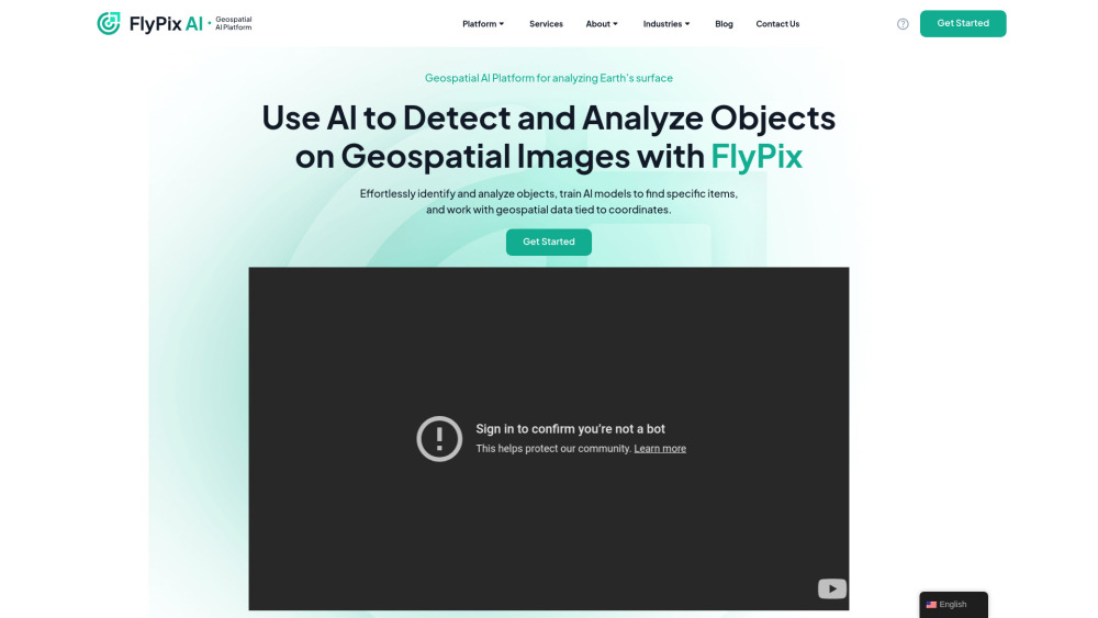


FlyPix AI is a geospatial AI platform that allows users to detect and analyze objects on geospatial images. It enables users to effortlessly identify and analyze objects, train AI models to find specific items, and work with geospatial data tied to coordinates. The platform requires no prior knowledge of AI or Machine Learning.
Geospatial AI platform for object detection and analysis on Earth observation data.
- Construction site monitoring
- Port operations analysis
- Agriculture yield prediction
- Infrastructure maintenance planning
- Forestry management
- Government land use analysis
- Ecotechnology applications
- Users can upload geospatial images to the FlyPix AI platform
- use the interactive sandbox to explore capabilities
- manually annotate objects to train custom AI models
- and then use these models to automatically detect objects in new images.

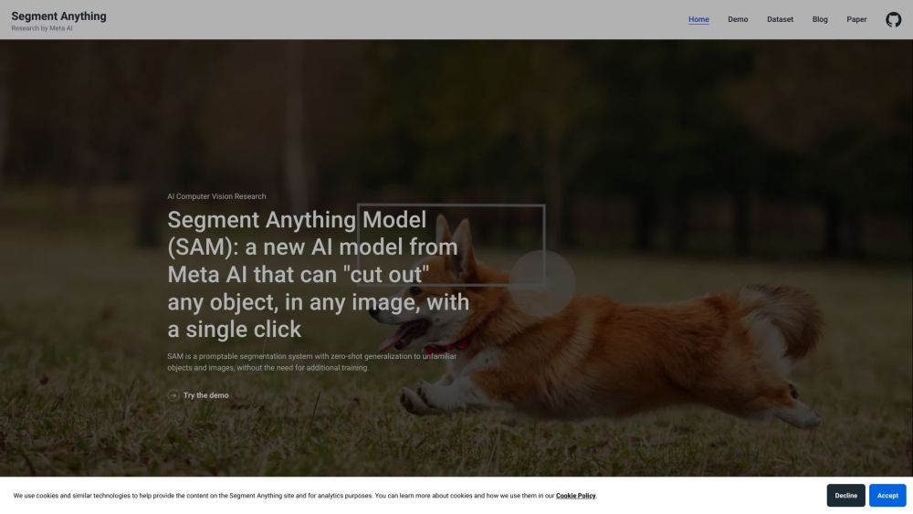
SAM is a promptable AI segmentation system for zero-shot generalization to objects and images.

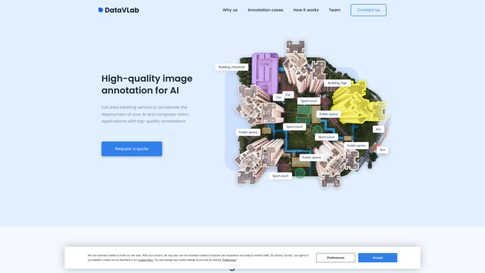
DataVLab provides AI data labeling and image annotation services for various industries.

All-in-one AI Workspace: Create professional slides, essays, videos, images, podcasts, and deep research in minutes.


ID verification solution provider using face recognition, liveness detection, and ID document recognition.


Unified model for segmenting objects across images and videos with high precision.


Free tool for training and deploying ML models without code.

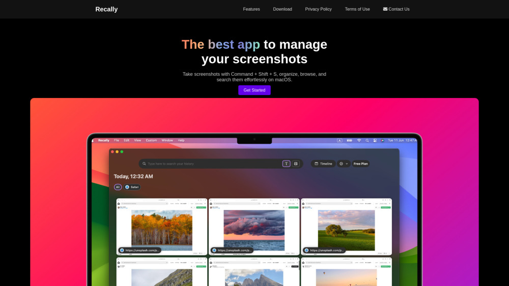
macOS app for screenshot management with OCR, AI search, offline operation, and encryption.

DoreAI: AI mobile SDKs for iOS and Android app development.


One-click tool to split images into 4 equal parts.