Flypix
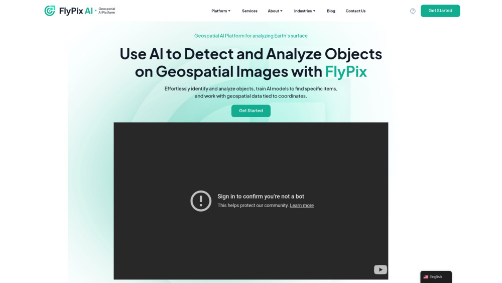



FlyPix AI is a geospatial AI platform that allows users to detect and analyze objects on geospatial images. It enables users to effortlessly identify and analyze objects, train AI models to find specific items, and work with geospatial data tied to coordinates. The platform requires no prior knowledge of AI or Machine Learning.
Geospatial AI platform for object detection and analysis on Earth observation data.
- Construction site monitoring
- Port operations analysis
- Agriculture yield prediction
- Infrastructure maintenance planning
- Forestry management
- Government land use analysis
- Ecotechnology applications
- Users can upload geospatial images to the FlyPix AI platform
- use the interactive sandbox to explore capabilities
- manually annotate objects to train custom AI models
- and then use these models to automatically detect objects in new images.
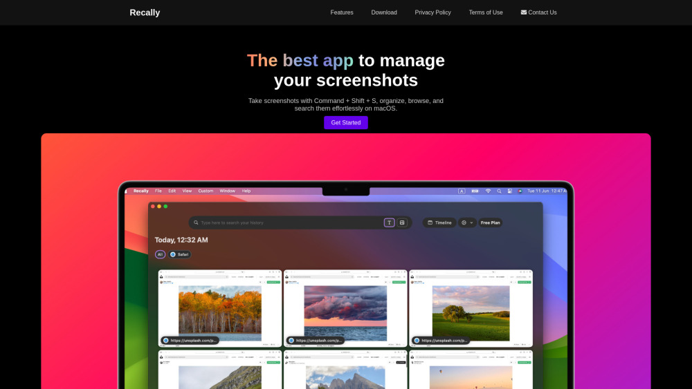
macOS app for screenshot management with OCR, AI search, offline operation, and encryption.

Web-based AI video editor for creating professional videos quickly.

No-code AI visual inspection software with high accuracy and minimal false positives.



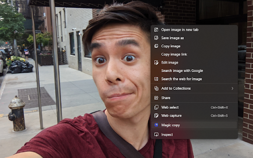
Chrome extension to copy yourself and erase the background from images.

Your Personal AI provides tailored AI and ML solutions for businesses globally.


Morphic is an all-in-one AI studio for generating everything from images and videos to ads and in-game assets.


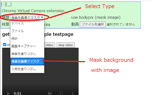
Replaces getUserMedia() with clock, video file, and background masking options.

AI-powered data annotation platform for accurate machine learning labels and efficient collaboration.