Flypix
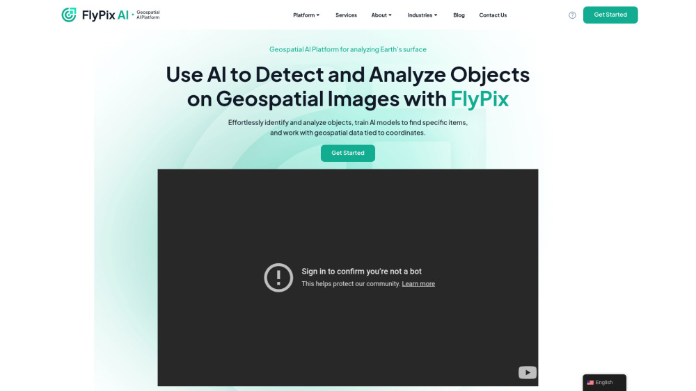



FlyPix AI is a geospatial AI platform that allows users to detect and analyze objects on geospatial images. It enables users to effortlessly identify and analyze objects, train AI models to find specific items, and work with geospatial data tied to coordinates. The platform requires no prior knowledge of AI or Machine Learning.
Geospatial AI platform for object detection and analysis on Earth observation data.
- Construction site monitoring
- Port operations analysis
- Agriculture yield prediction
- Infrastructure maintenance planning
- Forestry management
- Government land use analysis
- Ecotechnology applications
- Users can upload geospatial images to the FlyPix AI platform
- use the interactive sandbox to explore capabilities
- manually annotate objects to train custom AI models
- and then use these models to automatically detect objects in new images.

AI-powered product visualization tools for home improvement.


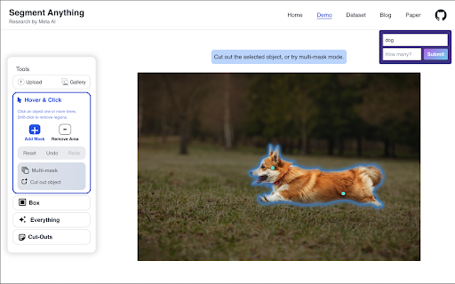
Unified model for segmenting objects across images and videos with high precision.


The smarter way to turn images into text.


AI tool for parsing UI screenshots and comic pages into structured data.


Ultralytics provides vision AI tools and platforms for creating, training, and deploying ML models.


Mixpeek: Multimodal data warehouse for developers, processing and extracting features from various media types.


GreenEyes.AI provides AI-powered Computer Vision APIs and SaaS products with a focus on sustainability.

macOS app for screenshot management with OCR, AI search, offline operation, and encryption.

Meta AI's image segmentation model for versatile object masking and identification.